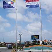
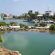
Photos of Bonaire, Dutch Caribbean

Bonaire
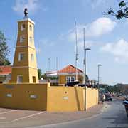
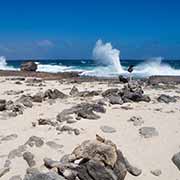
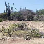
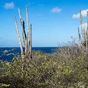
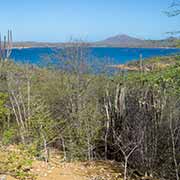
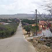
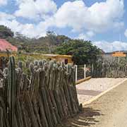
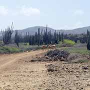
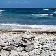
Bonaire, since 2010 a “special municipality” (officially, a “Caribbean public body”) within the Kingdom of the Netherlands, is the easternmost of the “ABC” islands, 80 kilometres off the coast of Venezuela. The island is almost 39 kilometres from north to south, and from 5-8 kilometres wide, with a total area of 288 km²; its population is a little over 20,000, mostly of African and mixed African and European ancestry. The island is quite arid, with cactus growth, fringed by coral reefs and beaches. Its highest point, Brandaris, is a 241 metres peak at the northern end of the island; the southern region is flat and covered with seawater, producing salt.
you may then send it as a postcard if you wish.

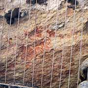
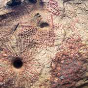
Bonaire seems to have been inhabited since 3300 BCE, and Caquetío Indians, speaking an Arawak language, arrived from the South American mainland around 500 CE. Caquetío rock paintings and petroglyphs have been preserved in caves; according to Spanish visitors, they were very tall and lived in adobe huts. The Spanish arrived on Bonaire in 1499 and, in 1515, forcibly deported the Indigenous people to Hispaniola to work as slaves in the copper mines. In 1623 ships of the Dutch West India Company called at Bonaire to obtain meat, water and wood and dumped some Spanish and Portuguese prisoners there, who founded Andriol in present-day Kralendijk.
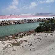
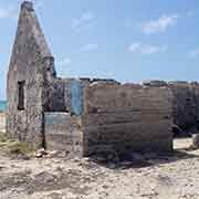
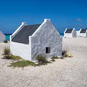
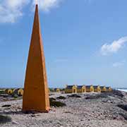
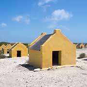
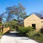
In March 1636, during the Eighty Years War with the Spanish, the Dutch conquered Bonaire and, in 1639, built Fort Oranje. The island became a plantation of the Dutch West India Company, and enslaved Africans, alongside Indians and convicts, cultivated maise and dyewood. They harvested salt in the south of the island; slave quarters small stone huts were built around the salt pans and are still there, some now restored and freshly painted.
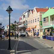
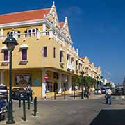
The Dutch twice lost control of Bonaire to the British during the Napoleonic Wars in the early 19th century; during British rules, many traders settled on the island and founded the settlement of Playa (now Kralendijk). In 1816, with Dutch control restored, it again became a government plantation, worked by slaves. They were gradually freed, under the condition they render services to the government, until, in 1862, all were freed.
The island became part of the Colony (later Territory) of Curaçao and Dependencies and, in 1954, one of the Netherlands Antilles. Upon dissolution of the Netherlands Antilles, Bonaire opted to become a “special municipality” and so part of the Netherlands itself, like Sint Eustatius and Saba. Bonaire retains its culture, but the people have the same rights as ordinary Dutch citizens, including voting in Dutch elections. However, a non-governmental organisation, “Nos Ke Boneiru Bèk” (We Want Bonaire Back in Papiamentu), is against the current arrangement. As the result of a referendum held in 2015, it turned out that 65% of the people who voted indicated they were unhappy with the current relationship between Bonaire and the Netherlands.
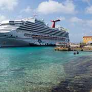
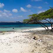
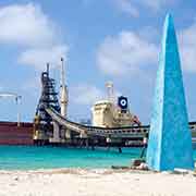
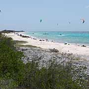
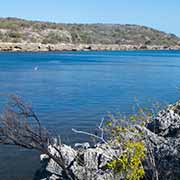
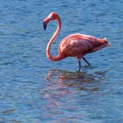
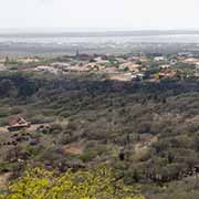
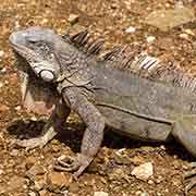
Bonaire’s economy is mainly based on tourism, with its warm, dry weather and coral reefs - it is one of the world’s best shore diving spots. There are windsurfing and beauty spots around the island, with flocks of hundreds of flamingos. It is also a major port of call for cruise ships. The southern part of Bonaire is a giant system of ponds and pools where seawater evaporates, producing salt; presently, 400,000 tons of industrial-grade salt is produced per year. Flamingo International Airport is served by a variety of domestic and international airlines.